The Calf
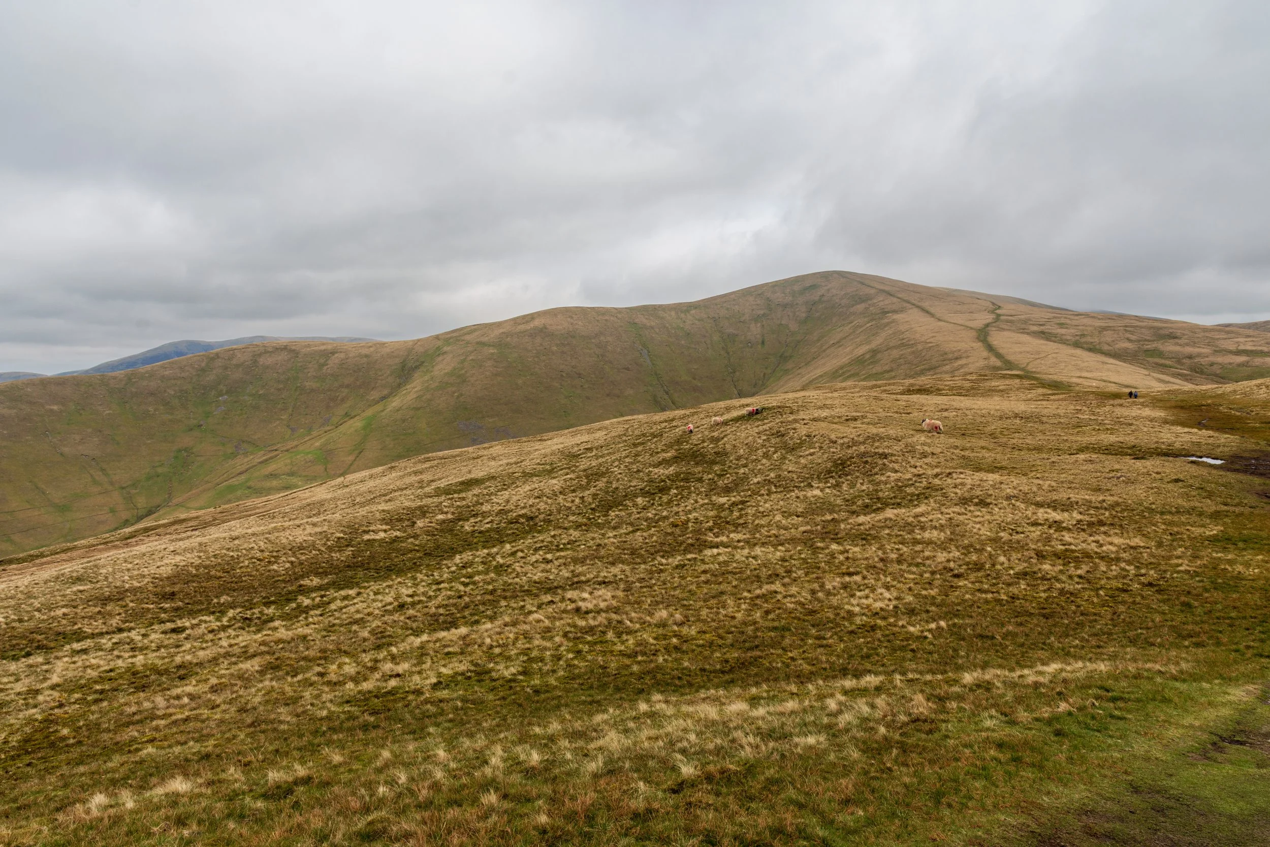
The view from the top of Winder, towards Calders and The Calf in the background
Location: SD 667 970
Getting there: Approach from nearby Sedburgh, or ascents from the west or east
Height (at trig point on summit): 676m
Prominence: 383m
Map: OS Explorer OL19
The Calf is the highest summit in the Howgills, and offers spectacular views into both the Yorkshire Dales and Lake District. Historically, the Howgills sat inside the former, but now it forms part of the Yorkshire Dales National Park.
As such, the peak is one of the Dales 30.
The Calf is fairly central to the Howgills and it says a lot about how ‘hilly’ these hills are in that its prominence stands at an impressive 383.
The summit is fairly plain and indistinctive, save for a trig point. That said, the Howgills makes for a fantastic day out, with few crowds and some intense hill climbing.
The easiest approach is directly from the west, however a more interesting route is an ascent from the East, visiting nearby Cautley Spout, sitting in the remote Bowerdale valley.
Or if you fancy a challenge walk, try the Howgill Circular, starting at Sedburgh, crossing the Howgills south-to-north, before looping around and heading back.
